


Andler 7 Km

Efr
User
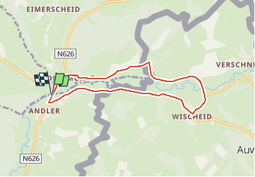

Length
6.6 km

Max alt
489 m

Uphill gradient
110 m
Km-Effort
8.1 km

Min alt
436 m

Downhill gradient
109 m
Boucle
Yes
Creation date :
2024-04-27 08:56:43.0
Updated on :
2024-04-27 18:46:52.729
1h50
Difficulty : Medium

FREE GPS app for hiking
 SityTrail
IGN / Geographical institutes
SityTrail Plus
The world is yours!
About
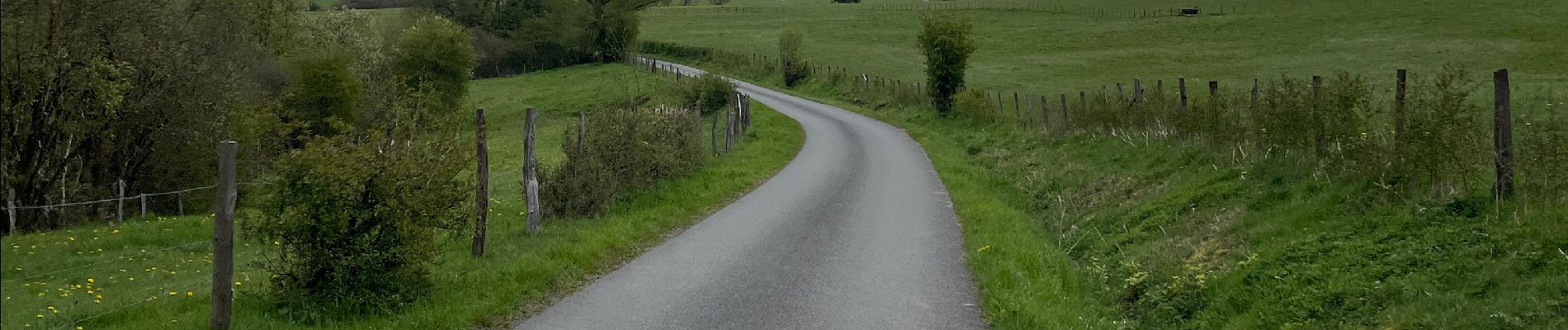
Trail Walking of 6.6 km to be discovered at Wallonia, Liège, Saint Vith. This trail is proposed by Efr.
Photos


Positioning
Country:
Belgium
Region :
Wallonia
Department/Province :
Liège
Municipality :
Saint Vith
Location:
Unknown
Start:(Dec)
Start:(UTM)
306696 ; 5576488 (32U) N.
Comments